The Indian River Lagoon at Melbourne: what went wrong with the water
The lagoon at Melbourne is among the most degraded reaches of the Indian River system. Here's the seagrass collapse, the nutrient sources, and the recovery work still underway.
The Indian River Lagoon at Melbourne is in worse environmental shape than most other reaches of the lagoon, and the lagoon as a whole is in worse shape than almost any comparable estuary in North America. Between 2009 and 2011 the Brevard portion of the lagoon lost roughly 80% of its seagrass coverage in a series of severe algal blooms triggered by accumulated nutrient pollution. Recovery has been slow, partial, and politically difficult. As of 2026 the Melbourne stretch carries somewhere between 12% and 18% of its 1990 seagrass extent, and the working ecosystem that supported Brevard’s commercial fishing economy through the twentieth century is mostly gone.
This article walks through what happened, what’s being tried, and why Melbourne sits at the unfortunate epicenter.
What the lagoon is
The Indian River Lagoon system is a 156-mile-long shallow coastal estuary running from Ponce Inlet near Daytona Beach south to Jupiter Inlet near West Palm Beach. It’s actually three connected water bodies (Mosquito Lagoon, Banana River, Indian River) that function together as a single ecosystem. Average depth is about four feet. The lagoon supports more than 4,300 plant and animal species; the federal designation is “Estuary of National Significance.”
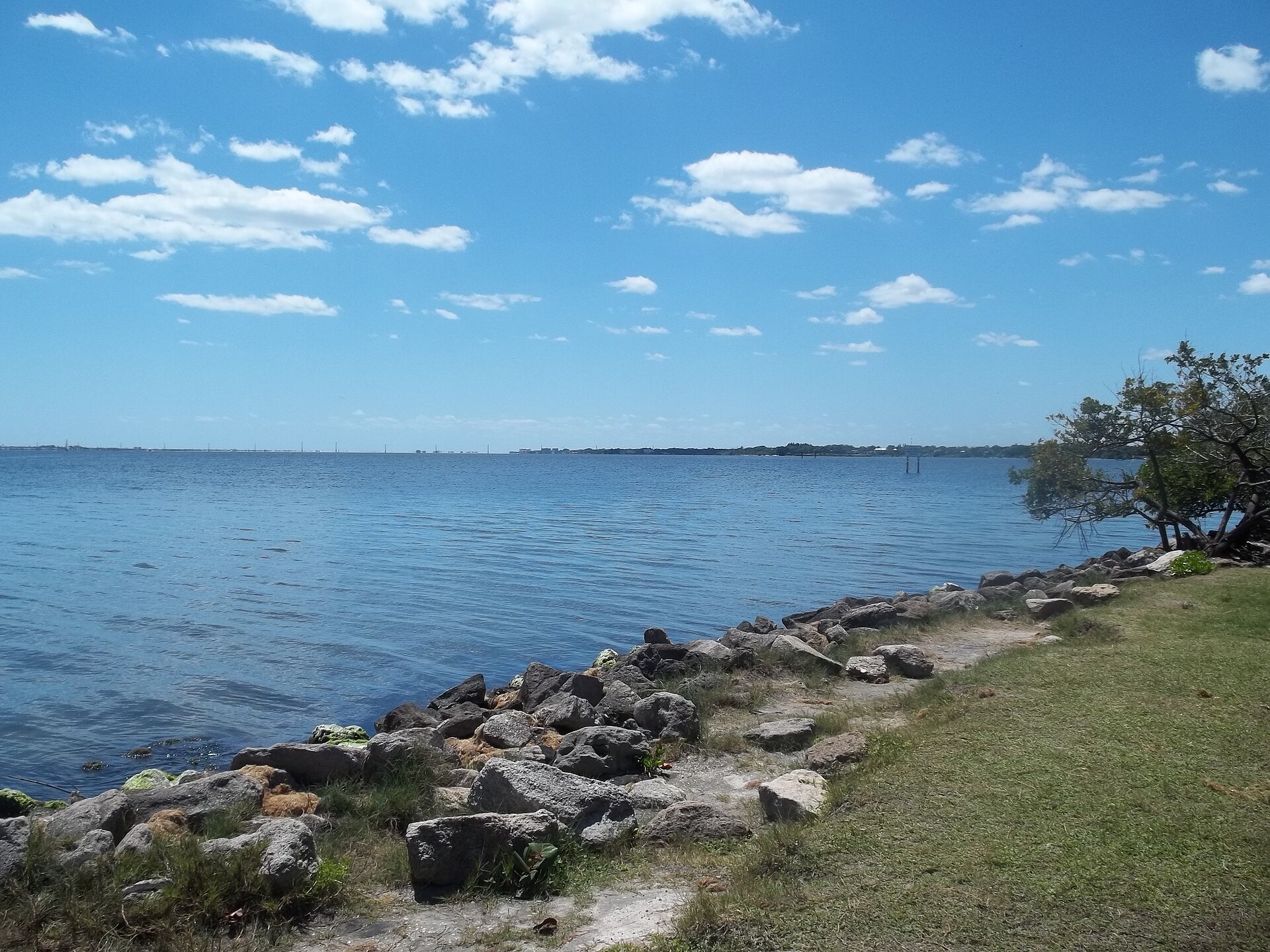
The Melbourne stretch of the lagoon, roughly from the Eau Gallie Causeway south to about Sebastian, is approximately 25 miles of shoreline. It’s wider here than at some northern reaches (about 5,000 to 8,000 feet across at Melbourne) and shallower in places. The Crane Creek and Eau Gallie River freshwater inflows discharge into this stretch.
What’s wrong
Three things, in order of significance.
1. Nutrient over-enrichment. Decades of accumulated nitrogen and phosphorus from stormwater runoff, leaky septic systems, agricultural fertilizer, lawn fertilizer, and treated-wastewater discharges have raised baseline nutrient concentrations to levels that trigger algal blooms in warm weather. The blooms shade out seagrass, which dies and decays, which releases more nutrients, which feed more blooms. The system is in a self-reinforcing degraded state.
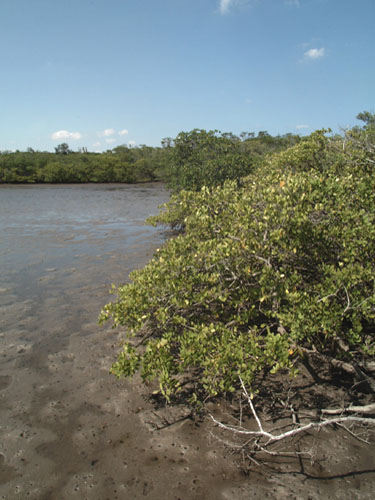
2. Seagrass collapse. Healthy lagoon seagrass beds in the 1980s and early 1990s supported manatees, fish nurseries, and a working commercial fishery. The 2009-2011 superblooms (a series of intense algal events) killed an estimated 47,000 acres of seagrass system-wide. The Brevard stretch lost the highest fraction. Recovery has been incomplete and erratic. Some patches have re-established; other reaches have not.
3. Manatee mortality. Florida manatees, which depend on lagoon seagrass for winter forage, experienced an Unusual Mortality Event (the formal NOAA/FWS designation) starting in late 2020. The mortality was concentrated in the lagoon’s Brevard reaches, with the most deaths in the Indian River segment that includes Melbourne. From late 2020 through 2022, FWC documented more than 1,100 manatee deaths statewide, with the lagoon zone accounting for the largest share. Causes were mixed, but starvation from seagrass loss was the dominant factor.
Why Melbourne in particular
The Melbourne stretch is bad for several converging reasons.
Population density. South Brevard’s population grew from about 75,000 in 1970 to over 350,000 by 2020. Every household added stormwater runoff, septic loading, fertilizer use, and impervious surface coverage. Brevard County converted from a sparsely populated citrus and fishing economy to a dense suburban economy in two generations, and the lagoon absorbed the runoff.
Septic systems. A significant share of south Brevard housing is on septic rather than central sewer. Older systems leak nitrogen into groundwater that emerges into the lagoon. The county has been on a multi-decade campaign to convert septic to sewer, but the conversion is expensive and slow. Estimates put roughly 30,000 septic systems still in operation in Brevard County’s lagoon watershed as of 2024.
Crane Creek and Eau Gallie River as conduits. Both of Melbourne’s freshwater inflows carry urban runoff. Crane Creek’s watershed is essentially the central Melbourne urban core, with heavy impervious cover and limited stormwater detention. The creek delivers concentrated runoff directly to the lagoon at Melbourne’s center of population. The Eau Gallie River carries less urbanized runoff but its drainage basin includes substantial agricultural-residential transition zones.
Reduced flushing. The lagoon at Melbourne is far from any inlet (the nearest ocean cuts are Sebastian to the south and Port Canaveral to the north, each about 25 miles away). Water exchange is slow. Nutrients added here stay here longer than they would at a more inlet-adjacent reach.
What’s being tried
Brevard County voters approved the Save Our Indian River Lagoon (SOIRL) half-cent sales tax in November 2016. The tax is dedicated to lagoon restoration projects: septic-to-sewer conversion, muck dredging (removing the accumulated nutrient-rich sediment from key reaches), stormwater retrofit, oyster reef construction, and seagrass planting. The tax was projected to raise approximately $486 million over ten years (2017-2026). Renewal extended the tax further.
Major project categories funded by the tax:
- Muck dredging. Several million cubic yards of high-nutrient sediment removed from priority lagoon reaches, including portions of the Eau Gallie River and the lagoon segments near Crane Creek. This is the most expensive single category.
- Septic-to-sewer conversion. Thousands of households connected to municipal sewer, with cost-shared connection fees. Slow but cumulatively significant.
- Stormwater retrofit. Existing storm drainage upgraded with treatment ponds, swales, and infiltration features that capture nutrients before they reach the lagoon.
- Oyster reef and living shoreline construction. Restored shellfish reefs provide natural filtration and habitat. Multiple project sites in the Melbourne stretch.
- Seagrass restoration. Experimental plantings to re-establish seagrass beds. Results have been mixed; some plantings establish well, others fail when bloom conditions return.
State and federal funding has matched the local tax in several major project categories. The St. Johns River Water Management District, FWC, and EPA have all contributed.
Is it working
Partially. Water clarity in some sub-segments has improved since 2017. Some seagrass patches have re-established. The frequency of severe algal blooms has not returned to mid-2000s baseline, but blooms have continued. Manatee mortality dropped from the 2021 peak through 2024, partly due to emergency supplemental feeding programs in winter.
The full ecosystem recovery, if it happens, is a multi-decade project. Current ecological consensus is that the lagoon’s nutrient legacy is so embedded in the sediment that even completely eliminating new nutrient inputs would leave the system in a degraded state for fifteen to twenty-five years while embedded nutrients work through. Recovery requires both stopping new inputs and remediating existing legacy nutrients.
What Melbourne residents can see
If you spend time on the lagoon at Melbourne, you can see what’s wrong. The water is often greenish-brown instead of clear. Seagrass beds visible to wading and snorkeling are patchy where they used to be continuous. The bottom in many places is soft accumulated organic sediment instead of the firm sandy bottom older residents remember. Mullet jumps are less frequent than they were.
The fishing has changed. Commercial mullet fishing is gone (the net ban took it most of the way, the ecosystem decline finished it). Recreational fishing for trout and redfish continues but is more difficult. Wading birds are still visible but populations are lower.
Manatees are still present, especially in winter when warm-water discharges from utility plants attract them. They’re more visible than they would be in a healthy estuary because they congregate in increasingly compressed habitat.
What the recovery looks like
A successful recovery, looking ahead, involves a few specific outcomes:
- Seagrass coverage returning to 40% to 60% of historic extent in the next decade.
- Algal bloom frequency dropping to one major event per several years instead of multiple events per year.
- Manatee winter populations stabilizing at moderate density with reduced starvation mortality.
- Water clarity (Secchi depth) returning to historic norms (3 to 5 feet in summer instead of the current 1 to 2 feet).
Whether the recovery happens depends on whether the political will and financial resources sustain the current restoration trajectory for another fifteen to twenty years. Brevard’s voters have been supportive so far. The challenge is keeping that support through the long slow recovery window when results are incremental and easy to discount against ongoing development pressure.
Sources
- Indian River Lagoon Council and One Lagoon initiative, accessed 2026-01-17. https://onelagoon.org/
- Florida Fish and Wildlife Conservation Commission, manatee mortality data 2020-2024, accessed 2026-01-17. https://myfwc.com/
- St. Johns River Water Management District, Indian River Lagoon Surface Water Improvement and Management plan, accessed 2026-01-17. https://www.sjrwmd.com/
- Brevard County, Save Our Indian River Lagoon (SOIRL) program annual reports, accessed 2026-01-17. https://www.brevardfl.gov/
- US Fish and Wildlife Service, Florida Manatee Unusual Mortality Event documentation, accessed 2026-01-17.
- US Environmental Protection Agency, “Indian River Lagoon: An Estuary of National Significance” program documents.
Further Reading
As an Amazon Associate we earn from qualifying purchases.