The Melbourne Beach causeway, distinct from the Melbourne Causeway
Melbourne Beach has its own causeway, separate from the main Melbourne Causeway, and the distinction trips up visitors. Here's why both exist and how the barrier-island roads developed.
There are two causeways between mainland Melbourne and the barrier island south of the Sebastian Inlet, and visitors get them confused. The big one is the Melbourne Causeway (US-192), which lands at Indialantic. The smaller, older crossing, less than a mile south of US-192, is the Melbourne Beach Causeway, which lands at the town of Melbourne Beach. They’re two separate spans serving two separate barrier-island towns, and the distinction matters more than it sounds.
Here’s the development sequence and the why.
The barrier island, in brief
The Brevard County barrier island, the strip of land between the Indian River Lagoon and the Atlantic Ocean, has three or four distinct south-county communities:
- Cocoa Beach (north, connected to mainland Cocoa via the SR-520 causeway, which is its own story).
- Cape Canaveral (north, technically a city, not directly relevant to this article).
- Indian Harbour Beach / Satellite Beach (mid, connected via SR-518 / Eau Gallie Causeway).
- Indialantic (south of SR-518, connected via the Melbourne Causeway / US-192).
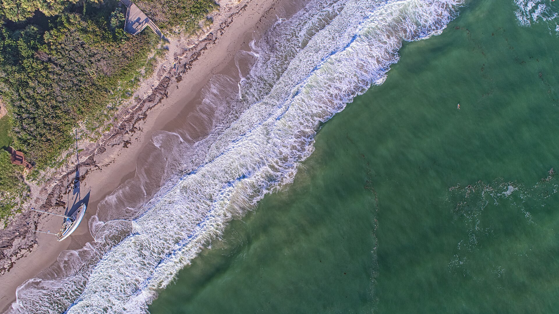
- Melbourne Beach (further south, connected via the Melbourne Beach Causeway / SR-A1A).
Melbourne Beach is a separately incorporated town. It’s not part of the City of Melbourne. The town has its own mayor, council, and tax base, and it’s been a distinct community since the 1880s.
The original Melbourne Beach connection
Through the 1920s, Melbourne Beach was effectively unreachable except by boat. There was no bridge from the mainland; visitors crossed the Indian River Lagoon in small craft. The town grew slowly because of access constraints. The 1900 census recorded about 30 residents. The 1920 census, about 80.
When the Melbourne Causeway (US-192) opened in 1925, it landed at Indialantic, about a mile and a half north of Melbourne Beach. Indialantic and Melbourne Beach were connected by SR-A1A, a north-south barrier-island road that paralleled the ocean. Getting to Melbourne Beach from the mainland after 1925 meant crossing the Melbourne Causeway to Indialantic, then turning south on A1A. That worked, but it routed all Melbourne Beach traffic through Indialantic’s small road network.
A direct causeway to Melbourne Beach had been floated in the late 1920s but the 1929 stock market crash and the subsequent Depression killed the financing. The town remained accessed through Indialantic through the 1940s.
The 1948 first causeway
The first Melbourne Beach Causeway opened in 1948. It was a wood-and-plank toll bridge, similar in construction to the 1925 Melbourne Causeway but smaller. Total length about 6,400 feet (the lagoon is slightly narrower at this point). Two lanes. The toll was 15 cents each way, which seems low compared to the 25-cent Melbourne Causeway toll twenty years earlier, but reflected the smaller construction cost and the desire to attract barrier-island development.
The 1948 causeway was funded by a combination of Brevard County bonds and private investors who held toll-revenue rights. The toll was retired in 1955 when the state took over the structure.
The wooden causeway lasted about twenty-three years. By the early 1970s the bridge was failing structurally. Florida DOT planned a replacement.
The 1970 concrete replacement
The current Melbourne Beach Causeway opened in 1970 as a concrete-deck, concrete-piling bridge with a bascule (drawbridge) section. It cost about $4 million in 1970 dollars (about $35 million in 2026 dollars). The wooden 1948 causeway was demolished concurrently.
The 1970 bridge is still in service. It carries SR-A1A traffic across the lagoon to Melbourne Beach. It’s the only direct mainland-to-Melbourne-Beach connection. The bascule section opens for boat traffic on scheduled intervals plus on-request openings; the open-bridge frequency is a recurring source of complaint among drivers.
A significant 2010s rehab brought the deck and railings up to current standards. The bridge is rated for current FDOT load standards and inspected on the standard two-year cycle. No replacement is currently scheduled.
Why the distinction matters
Three reasons people care.
First, emergency response and hurricane evacuation. Melbourne Beach’s only road off the island is the Melbourne Beach Causeway plus SR-A1A north to the Melbourne Causeway. If the Melbourne Beach Causeway is closed (drawbridge stuck, accident, structural concern), the entire town has to evacuate north through Indialantic. In a major hurricane this creates a chokepoint that has historically been the single biggest evacuation-route concern for the south Brevard barrier island.
Second, real-estate market segmentation. Melbourne Beach properties price differently from Indialantic properties partly because of causeway access geography. Direct mainland access via the Melbourne Beach Causeway is shorter to downtown Melbourne. Indialantic access via the Melbourne Causeway / US-192 is more direct to I-95 and the airport. These differences show up in the listing prices in ways that buyers from out of state often miss.
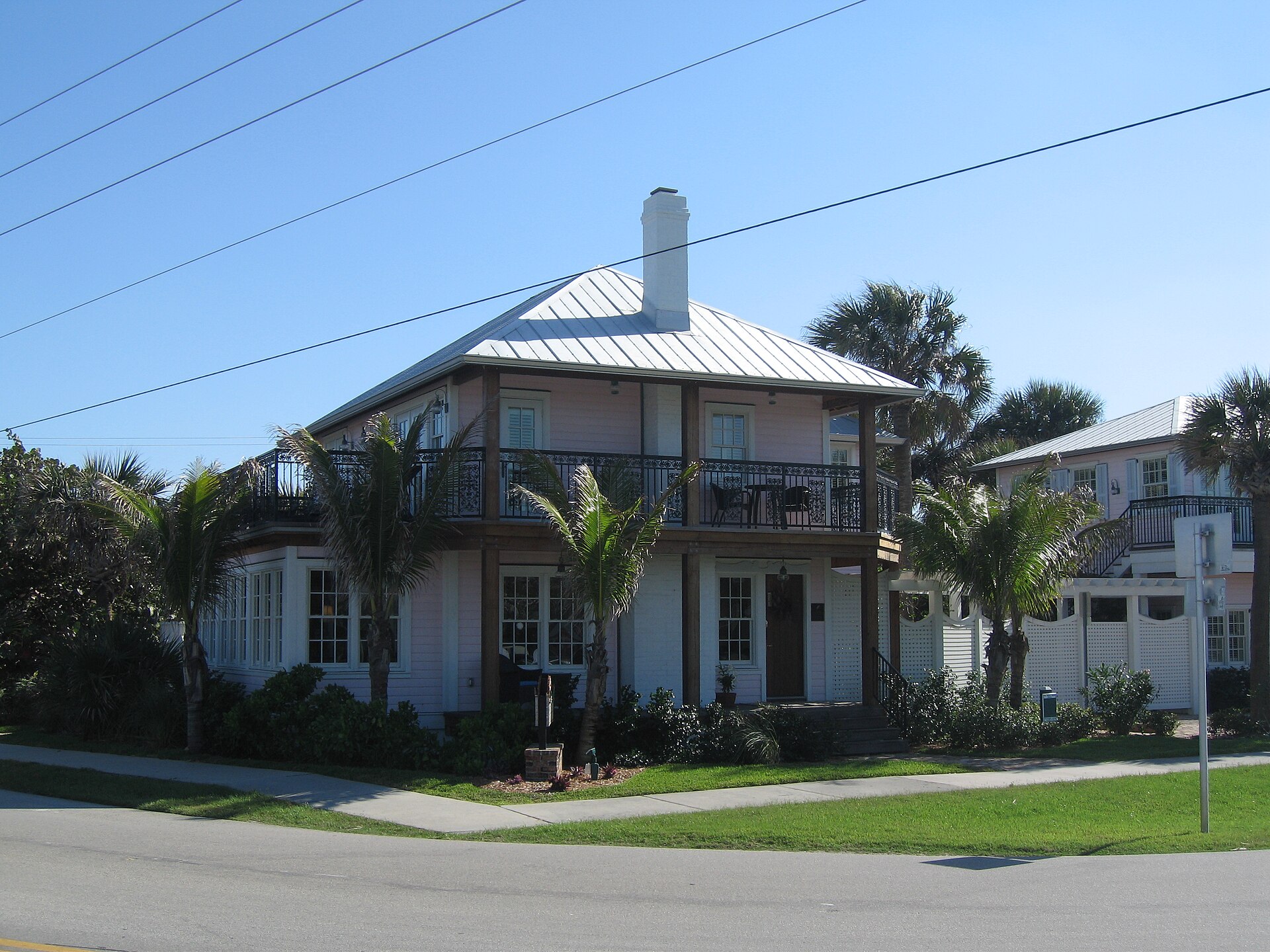
Third, the towns’ political identities. Melbourne Beach and Indialantic are separately incorporated. They have different councils, different zoning, different building codes, different aesthetics. Melbourne Beach is older (incorporated 1885), denser, more historically working, with a small commercial district. Indialantic was developed later, has fewer commercial properties and more single-family residential, and trends wealthier. The causeway you take tells you which town you’re in.
The Sebastian Inlet question
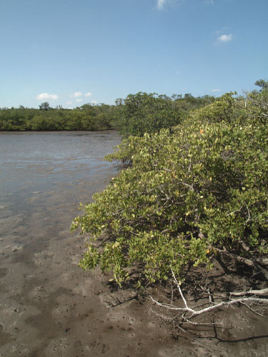
A useful detail: south of Melbourne Beach the barrier island continues another twelve miles to the Sebastian Inlet, the cut between the Indian River Lagoon and the Atlantic. The barrier island south of Melbourne Beach is the Floridana Beach area, then the unincorporated south Brevard / Indian River County line, then the Sebastian Inlet State Park.
There is no causeway south of the Melbourne Beach Causeway until you get into Indian River County and cross the inlet itself via the Sebastian Inlet Bridge (part of SR-A1A). The roughly fifteen miles of barrier island between Melbourne Beach and the Sebastian Inlet is accessed only via A1A; it’s a low-density stretch with no major commercial development and is the last substantially undeveloped barrier-island corridor in south Brevard.
This matters for Melbourne Beach’s identity. The town is at the south end of populated south Brevard, with relatively wild barrier island below it and the older incorporated communities above. It feels more isolated than it actually is. The drive to downtown Melbourne via the causeway is about fifteen minutes.
The future
FDOT’s current Brevard six-year plan includes routine maintenance of both causeways but no replacements. Realistically, the Melbourne Beach Causeway (1970, currently 56 years old) will need consideration in the 2030s. The Melbourne Causeway is somewhat younger and not on the medium-term replacement horizon.
Climate adaptation: the Melbourne Beach Causeway’s high point is about 55 feet above mean high water. Sea-level rise projections through 2070 (FDOT’s planning scenarios) put the bridge deck well above projected high water. The approach causeways at each end are the climate-adaptation concern, and that’s true at every Brevard causeway, not just this one.
Sources
- Florida Department of Transportation, bridge inventory and inspection records, accessed 2026-01-16. https://www.fdot.gov/
- Town of Melbourne Beach, municipal records, accessed 2026-01-16. https://www.melbournebeachfl.org/
- Brevard County government, roads records and historical bridge documentation, accessed 2026-01-16. https://www.brevardfl.gov/
- US Geological Survey, historical aerial photography of south Brevard barrier island, accessed 2026-01-16.
- NOAA sea level rise scenario datasets, FDOT planning use.
Further Reading
As an Amazon Associate we earn from qualifying purchases.